ARAN CAVE (formerly TUKANG CAVE)
UPDATED ARTICLE
(Including fees and transportation) is located in this link:

LOCATION:
|
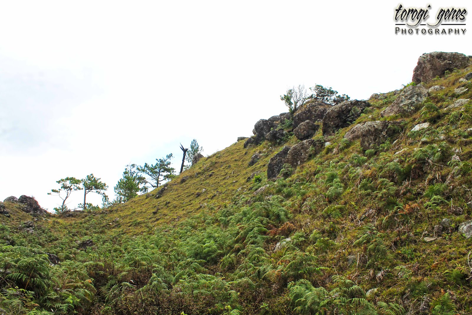
Twin Peaks and Camp
3, Tuba, Benguet, Philippines.
|
|
JUMP-OFF POINT:
|
Bued River, Kennon
Road, Camp 3.
|
|
CONTACT DETAIL:
|
0999 888 0881 (Magdalena
Niwane, Municipal Tourism Officer Designate)
|
|
FEES/RENTALS/FACILITIES:
|
||
Registration Fee:
|
Php500.00 for a
maximum of four persons in a group OR Php125.00/person for a group of four.
This also covers the guide fee and head lamp rental.
|
|
Non-slip, close-toed shoes rental:
|
Php30.00.
|
|
Knee & elbow pads rental:
|
Not yet available.
|
|
Shower facility:
|
Still on the
process of being built. However, there are available shower stalls inside the
private resort near the entrance.
|
|
HOW TO GET THERE:
|
Camp 3-bound PUJ (Php35.00): terminal in front of
the Shopper’s Lane (behind Magsaysay Jollibee); OR
UV Express traversing Kennon Road, usually bound to
Pangasinan (Php35.00 or more): terminal at the gas station near SSS Building or
along Sandico St. near the Church of Jesus Christ of Latter-day Saints.
|
|
Description
Aran Cave, formerly
known as Tukang Cave, is a new spelunking destination situated in Tuba,
Benguet. The length of the cave is found within Camp 3 and Twin Peaks or may
even extend beyond to neighboring barangays as the cave is not yet fully
explored.
As claimed by the
locals, the name of the cave is coined from “aran”, an Ibaloi term for
“giant”. Accordingly, the cave had been a dwelling place of a giant. The
mystery behind this story and of how a giant can live inside a cave, where a
normal human needs to crawl through crevices to get in, is also a part of the
adventure your guide will speak of. On the other hand, its former name, Tukang Cave, is derived from the sitio
where the cave is located.
Aran cave is a
multi-chambered cave and subterranean river system. The adventure is generally punctuated
by the succession of waterfalls. As of July 2016, tourists can only go as far
as to the second falls. This decision is actually reached in order to safeguard
the wellbeing of the spelunkers. As stated by the local guide, the route to the
third falls is rigorously treacherous. Possible opening of the third falls to
the public in the future may highly include more than one guide, thus, higher
guide fee. Accordingly, the full length of the Aran Cave had not been fully
explored yet, a feat that the local guides are trying to do without inviting
outsider explorers.
Reaching each
waterfalls requires crawling through crevices—some requires you to slide [not
just crawl], wade along icy still or rapid waters, and rappel along stone walls.
You will need every ounce of agility and energy you have. The guides, however,
are very helpful throughout the adventure. The hard journey is often easily
forgotten because of the marvelous sights inside the cave. Further, swimming is
allowed along swimming pools. Moreover, like in a typical cave with
subterranean river, Aran also offers a myriad of stalagmites and stalactites, crystal
clear water, swimming pools, waterfalls, bats, and dank and cold caverns. Interestingly,
a chamber near the entrance is dotted with traces of gold and silver.
Reminders:
|
|
·
|
The capacity of the
cave is limited to 50 persons per day with a 2- to 5-hour duration per group.
Thus, be early if you don’t want to have a long waiting time. During peak
season, be mindful of the other groups waiting for their turn.
|
·
|
Cancel your trip if
there is a continuous heavy downpour in the municipality.
|
·
|
Wear long pants and
long sleeves to prevent scrapes and skin cuts especially along the knees and
elbows. If you have knee and elbow pads, better bring it.
|
·
|
A lot of the
adventure requires you to wade through water, some at chest-high. Thus, you
will be totally wet. Bring extra set of clothes.
|
·
|
Wear a comfortable
non-slip, close toed rubber shoes (not sports sneakers!). If you don’t have
one, you can hire one near the entrance.
|
·
|
Bring re-sealable
zipper plastic bags if you plan in bringing gadgets inside. Bring your camera
inside at your own risk.
|
·
|
Listen and follow
instructions during orientation as well as what your guide instructs you to
do inside. Their orientation and instructions are for your safety as well as
for the protection of the cave.
|
·
|
Do not vandalize
the rocks nor take any physical memento from the cave.
|
·
|
Be guided by the
Leave No Trace mantra.
|
Gallery

You will be welcomed
by the three monkeys. They don’t have names by the way. You might want to christen them.

Comfortable rubber
shoes is a must inside the cave. This type of shoes has a better grip on the
rough stone surfaces while protecting your sole and toes.

Lo! A hanging bridge!
By experience, I have seen a lot of people who are very afraid in walking
bridges like this.

A chamber near the
entrance is dotted with traces of raw silver and gold. The locals commonly
refer to it as “takki ti balitok”.

Not far from the
entrance, you will hear the roar of the first waterfall. Before that, flowing
water is evident along the deep crevices.

Notice the crystal
clear water.

Before, I was easily
confused between stalactite and stalagmite. So, here’s what Encyclopedia
Britannica has to say: “A stalactite hangs like an icicle from the ceiling or
sides of a cavern” (“Stalactite and Stalagmite”, 2016).

Stalactites galore! Stalactite
has a "c" in it, as in "c" for "ceiling," and
stalagmite has a "g" in it, as in "g" for
"ground" (Fuller, 2008).

Stalactites along the
walls of the caves

Amazing formations
and colors. Notice the inclined block of stone. According to the guide, that
had been a part of the ceiling of the chamber. It was knocked to the ground
during the 1990s earthquake.

In a fantasy world,
this could be a patch of vegetables.

This painted date
could be the day a cave explorer reached this point.

Here comes agility
test!

Its kinda hard to the
non-outdoorsy types… but it can be done.

The guide would go
first and show how and where to put your feet and the clefts of the wall where
you can have a good grip. Don’t worry, after showing how it is done and if they
notice that you need help, they’ll be there for you.

And here we are at
the first waterfall. You need to be far from the raging water to have a good
shot. Otherwise, the result would be just like this.

A small bat at the
wall near the first waterfall. The guide took it and deposited in the “bat chamber”.

A natural swimming
pool. You may take a dip here. Be warned, the water is cold!

A closer look at the
pool.

You need to wade through
this. It is chest-high by the way.

A wider view of this
pool.

Another narrow path.
From the top, you need to go down and walk along that narrow portion.

It takes decades and
decades for stalactites and stalagmites to form. Don’t disturb its growth by
not touching it.

It looks difficult to
go down but it’s actually easy when you’re on it.

There are points
where you need to be on all fours.

Lo and behold, the
second waterfall!

Like most caves, we
need to do some Tarzan moves to cross the second waterfall.

The pool at the
second waterfall. If the third waterfall will be opened, you need to cross this
pool and climb the wall.

There are more
colored stalactites in this area than in the first waterfall.

A portion of the
ceiling of the second waterfall.

I really love this
area!

It is worth the
physical exertion, crawling, sliding, climbing and whatever maneuvers you
needed to do to make it here.

Rock formations in
the usual area where the guide speaks about the history of the cave.

Jaw- and teeth-like
formation in the same chamber.

Small stalactites and
stalagmites that looks like they haven’t grown an inch for quite long. Notice
also the vandalized rock formation etched by irresponsible tourists.
REFERENCES:
Stalactite and Stalagmite. (2016). In Encyclopædia Britannica. Retrieved from https://www.britannica.com/science/stalactite
Fuller, J. (2008, April 14). What's the difference between
stalactites and stalagmites? Retrieved from http://science.howstuffworks.com/environmental/earth/geology/stalactite-stalagmite.htm